The smart phone APP, AVENZA, allows users to navigate using preloaded maps on their phones regardless of phone signal availability. The AVENZA website includes buttons for free downloads, an introduction to the program features and useful tutorials. This app allows users to track (see) their location as a colored dot on a Google earth map background with accurate associated latitude, longitude info in real time as they move within the map.
The APP allows users to place pins on their maps to demarcate items of note. For example, entry and exit points, or the locations of debris. The free version allows users to have three maps at any one time on their phone. The professional version (paid subscription) allows users to host lots of maps at once).
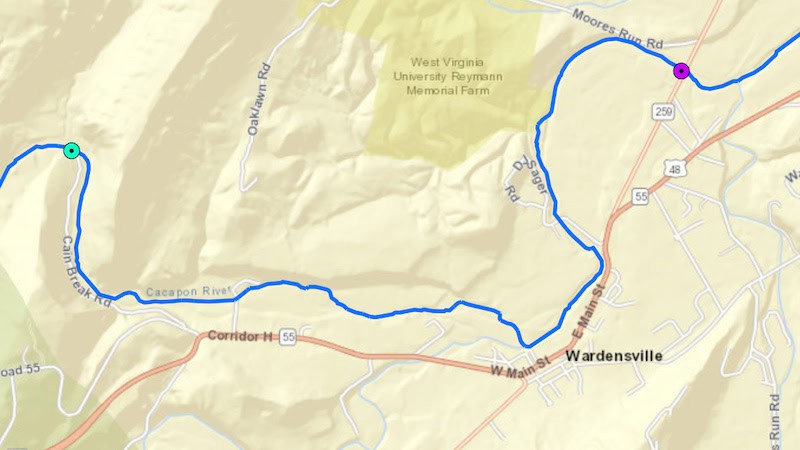
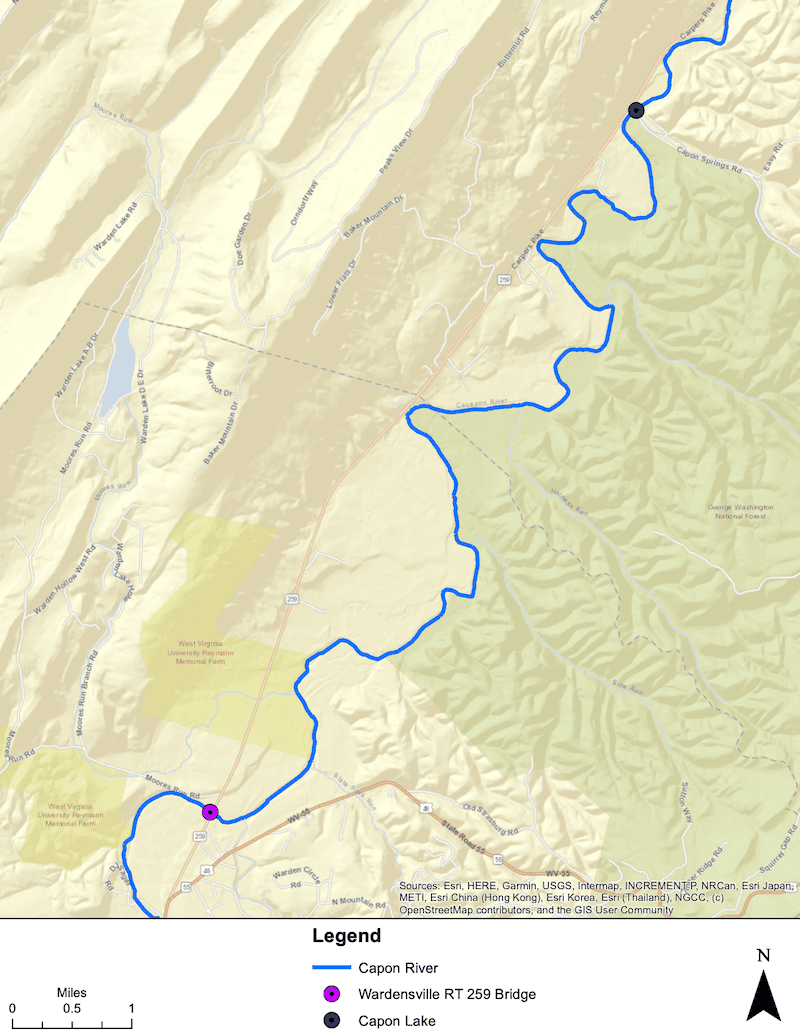
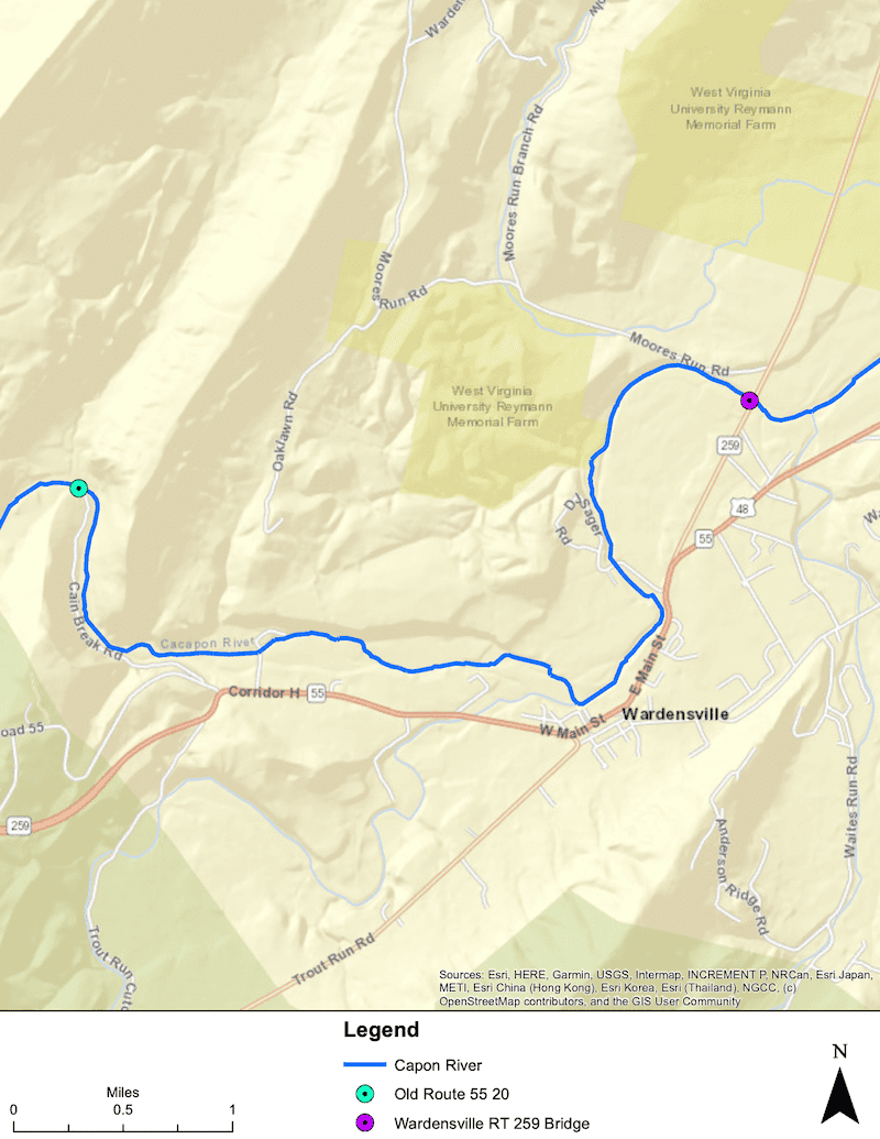
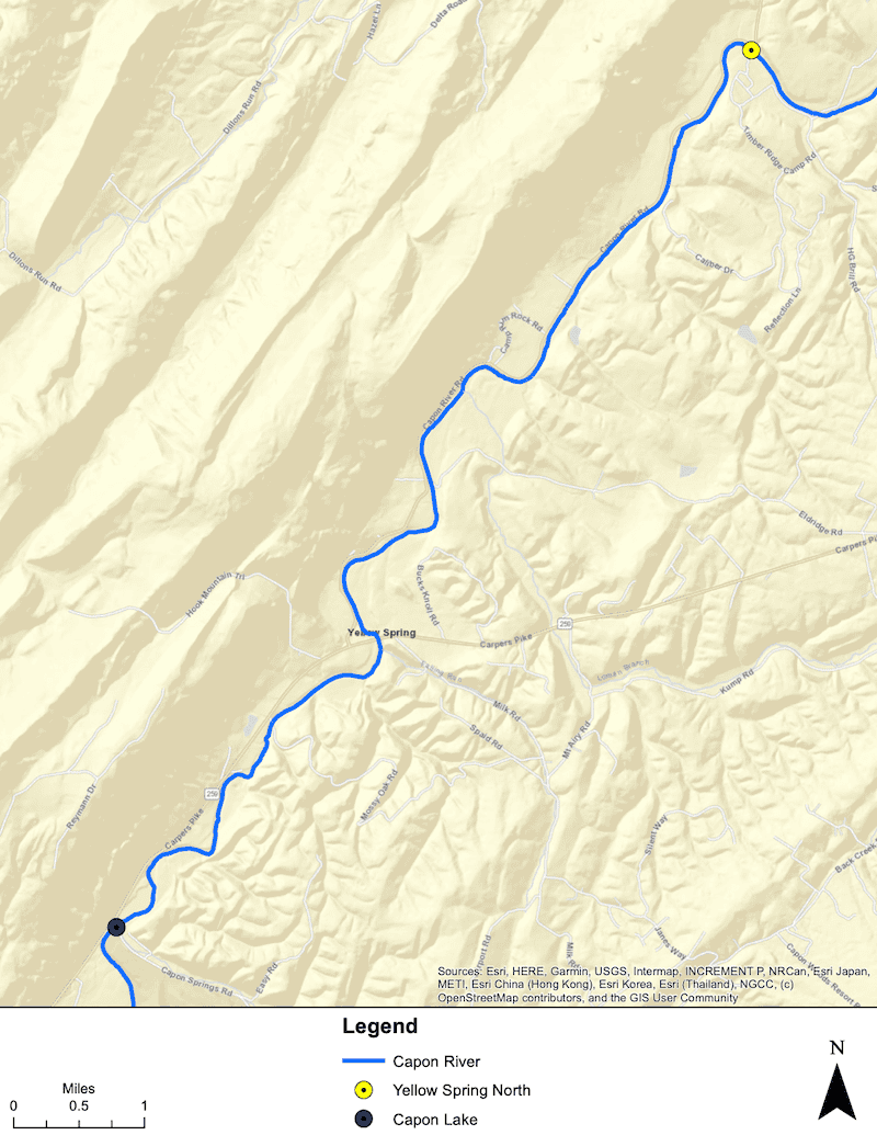
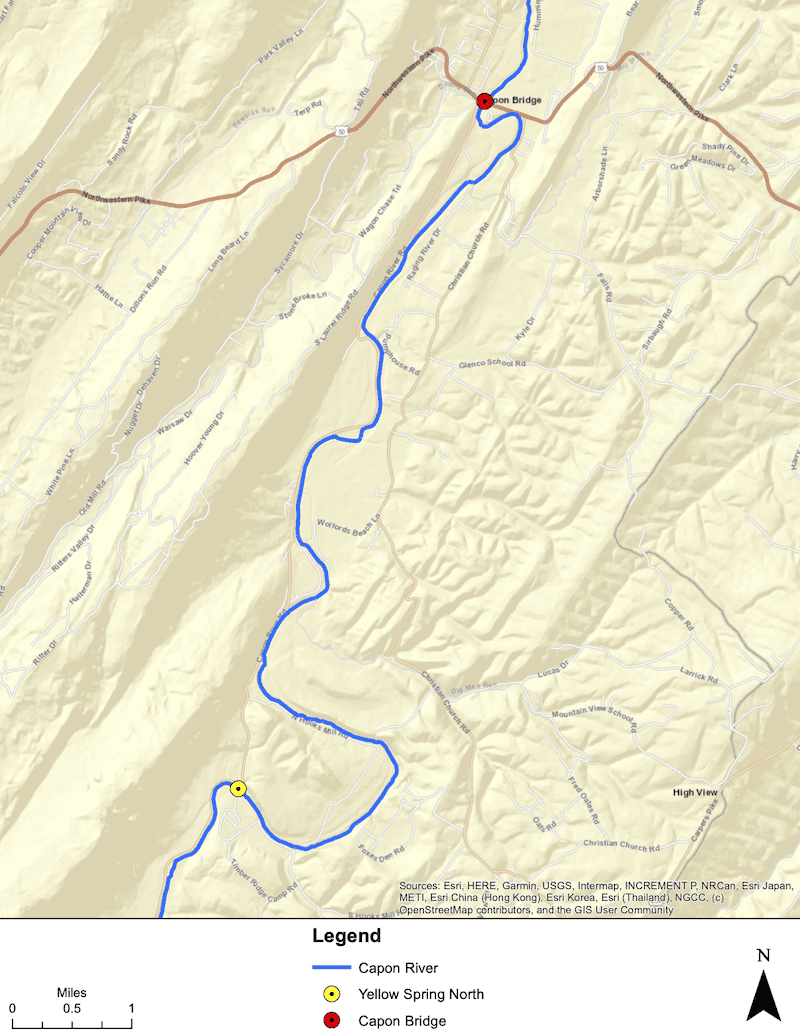
THE FOC website includes four AVENZA maps that cover the Cacapon from above Wardensville to Capon Bridge that can be downloaded.
Copy the following URLS from your Smartphone to add the maps to Avenza using the plus sign in the upper right.
https://cacaponriver.org/wp-content/uploads/MAP-3-Capon-Lake-to-Yellow-Spring-North.pdf
https://cacaponriver.org/wp-content/uploads/MAP-4-Yellow-Springs-North-to-Capon-Bridge.pdf